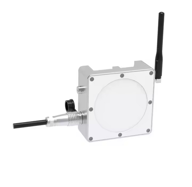
◀◀ Key Selling Points ▶▶
Integrated 4G Communication – No external host required; transmits data directly via 4G for real-time monitoring.
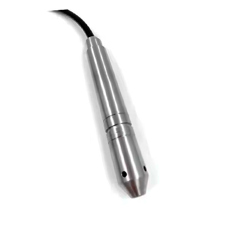
High Reliability – Robust design ensures stable performance in harsh environments.
Low Power Consumption – Energy-efficient operation for prolonged use with minimal maintenance.
Strong Scalability – Adaptable to various urban infrastructure systems and future upgrades.
User-Friendly – Simplifies urban flood management with actionable insights for authorities.
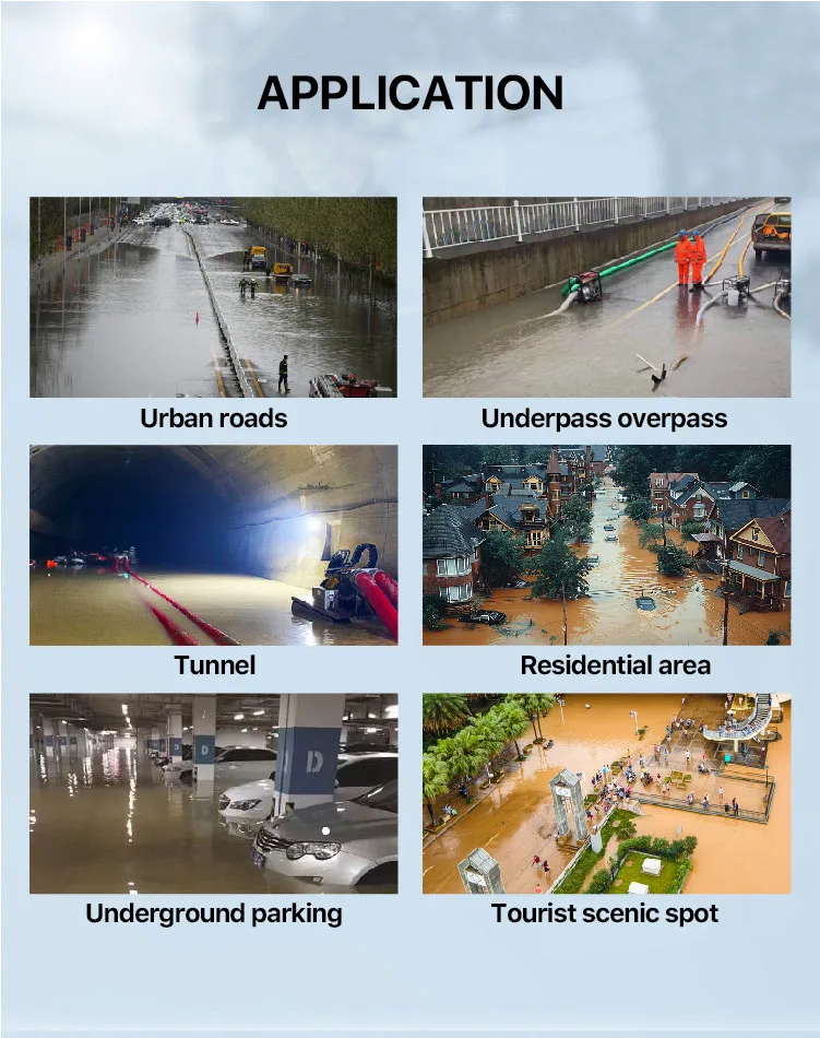
◀◀ Application Scenarios ▶▶
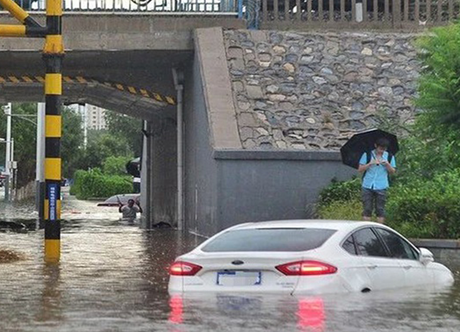
Urban Flood Control: Monitors waterlogging on roads, underpasses, and tunnels to prevent accidents.
Smart City Infrastructure: Integrates with urban management systems for data-driven decision-making.
Disaster Prevention: Supports emergency command centers with real-time data for rapid response.
Public Transportation Safety: Alerts drivers and pedestrians to hazardous waterlogged zones.
Municipal Planning: Provides long-term data for improving drainage systems and urban resilience.
Ideal for city managers, transportation departments, and emergency response teams, this device is a cornerstone of modern, flood-resilient urban development.